Welcome to KnowHow Daily!
Practical guides, money-saving tips, tech solutions, government benefits, and useful information for everyday life.
Welcome to KnowHow Daily!
Practical guides, money-saving tips, tech solutions, government benefits, and useful information for everyday life.

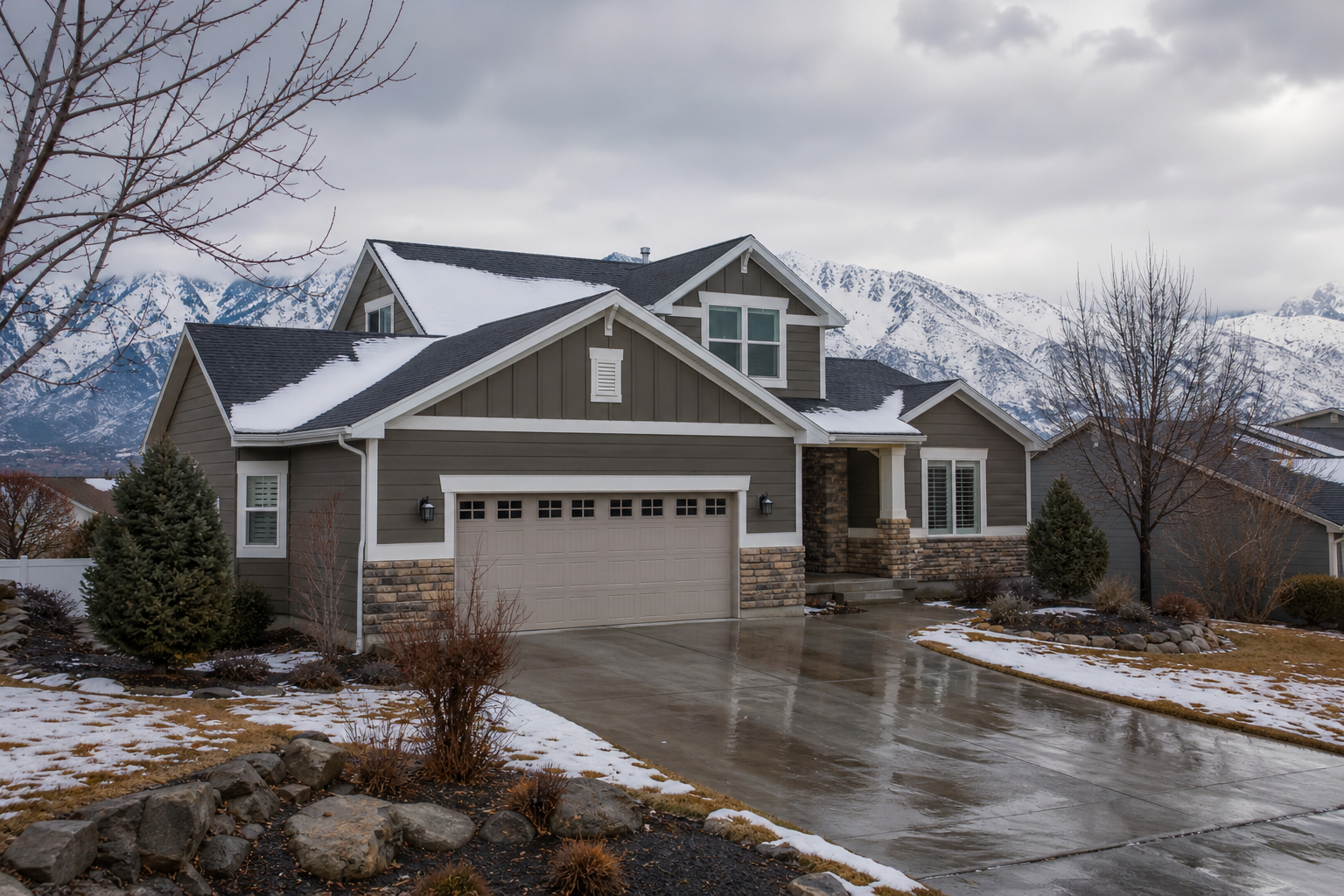
NOAA’s latest U.S. winter 2026–2027 outlook favors warmer northern conditions and wetter weather across the South and East. Here’s what it means for snow, travel, and home preparation.
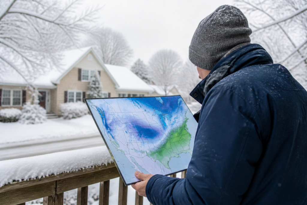
NOAA’s Climate Prediction Center updated its official seasonal discussion on November 19, 2026. The broad message is fairly clear: a strong El Niño is expected to shape the December 2026 through February 2027 pattern, tilting the odds toward warmer-than-average conditions across much of the northern United States and wetter-than-average conditions across large parts of the South and East.
That does not mean every northern city will have a mild winter or that every storm in the South will bring rain instead of snow. Seasonal outlooks describe probabilities over a three-month period. They are useful for planning, but they cannot tell you whether a particular weekend will bring a blizzard, freezing rain, or an unusually warm stretch.
NOAA says the strong El Niño is likely to remain the main influence through at least January–March 2027. The agency’s November update also increased precipitation odds in parts of California, the Desert Southwest, and along the East Coast compared with the previous October release.
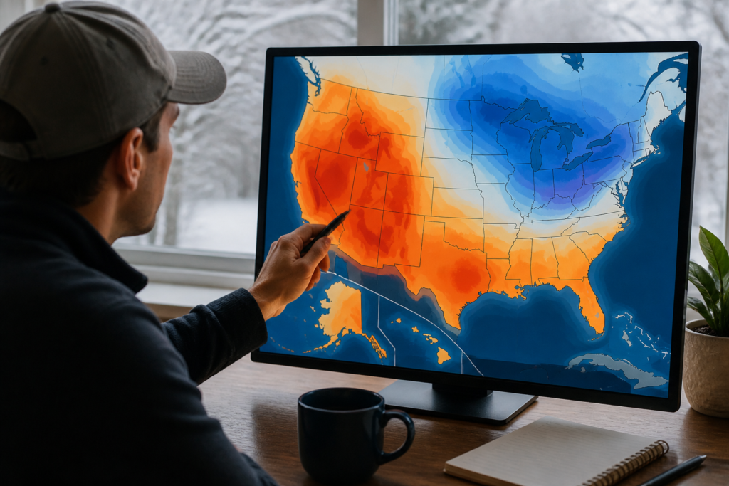
For December through February, above-normal temperatures are favored across the northern two-thirds of the contiguous United States, along with central and eastern Alaska. The strongest warmer-than-average signal covers areas such as the Pacific Northwest, northern Rockies, Great Lakes, Upper Mississippi Valley, Northeast, and parts of the East.
The Southeast is less straightforward. NOAA favors near-normal seasonal temperatures across parts of the region, while the Southwest, Gulf Coast, and southern Plains carry more uncertainty. A warmer seasonal average also does not rule out short-lived Arctic outbreaks. One or two major cold events can still occur even when the three-month average ends up above normal.
| Region | NOAA’s broad temperature signal | What that means in practice |
|---|---|---|
| Pacific Northwest and northern Rockies | Above normal in many areas | A milder seasonal average is favored, but mountain snow and short cold spells remain possible. |
| Great Lakes, Upper Midwest, and Northeast | Above normal favored | Fewer persistent cold periods are favored overall, but individual snow and ice storms are still possible. |
| Southwest, Gulf Coast, and southern Plains | More uncertain | Seasonal averages may vary considerably, so local forecasts will be more useful than the broad map. |
| Southeast and Florida | Near normal in several areas | Rainfall may be more predictable than temperature, especially near the Gulf and Atlantic coasts. |
The precipitation signal is stronger than the temperature signal. NOAA forecasts above-normal precipitation from southwestern Oregon and California through the Southwest, Central and Southern Great Plains, Gulf Coast, Southeast, Mid-Atlantic, and much of the Northeast.
The highest odds are along parts of Florida, southern Georgia, and the coastal Carolinas, where NOAA places the chance of above-normal winter precipitation above 70 percent. Southern California and southwestern Arizona also have elevated odds, above 60 percent in the latest discussion.
That wetter pattern could help improve drought conditions in parts of the Southwest, Southern Plains, Southeast, and East Coast. It can also create hazards. Saturated ground, fast-moving storms, flash flooding, mudslides, and repeated travel disruptions are all possible concerns, particularly where heavy rain falls after a dry period.
Drier-than-average precipitation is more likely across parts of the northern Rockies, Northern High Plains, Great Lakes, and mainland Alaska. The forecast is not uniform across those regions, so local water managers and rural property owners should use the regional map rather than assume the entire area will be dry.
Not necessarily. NOAA specifically cautions that seasonal outlooks do not predict total snowfall because snow amounts are generally not predictable more than about a week in advance.
A wetter winter can produce more snow in some places, but precipitation may fall as rain when temperatures are near or above freezing. In the southern United States, a stormier pattern could bring heavy rain, severe weather, ice, or occasional snow depending on the timing and track of each system. In the northern states, a warmer seasonal average can still include significant snowstorms when cold air arrives at the right time.
For homeowners and travelers, the useful takeaway is not to buy into a simple “mild winter” or “big snow winter” headline. Prepare for the hazards typical of your location, then use short-range forecasts and official warnings when a storm is approaching.
The seasonal outlook is most useful as a planning signal. It can help households decide which risks deserve attention before winter becomes active.
NOAA’s Climate Prediction Center issues official 90-day outlooks each month. The November 19 discussion says the current outlook will be superseded by a new release on December 17, 2026. NOAA’s next monthly ENSO Diagnostic Discussion is scheduled for December 10, 2026.
Those updates may adjust the probabilities as ocean temperatures, atmospheric circulation, and model guidance change. They are not likely to turn the seasonal outlook into a city-by-city snow prediction. For that, readers will need shorter-range forecasts as individual weather systems come into view.
For now, the practical status is straightforward: plan for a warmer-leaning winter across much of the north, a wetter and potentially stormier pattern across the southern tier and East Coast, and enough uncertainty that local preparation still matters everywhere.
A. No. Above-normal temperatures are favored across much of the northern two-thirds of the country, but the Southeast, Southwest, Gulf Coast, and southern Plains have more uncertainty. A warmer seasonal average also does not eliminate brief cold outbreaks.
A. NOAA favors above-normal precipitation from southwestern Oregon and California across the Southwest, southern Plains, Gulf Coast, Southeast, Mid-Atlantic, and much of the Northeast. The highest odds are forecast for Florida, southern Georgia, and the coastal Carolinas.
A. No. El Niño shifts the odds toward certain temperature and storm-track patterns, but it does not guarantee a particular snowfall total or storm outcome. Snow depends on local temperature, elevation, storm timing, and the exact path of each system.
A. The current Climate Prediction Center discussion says the next seasonal outlook release is scheduled for December 17, 2026. NOAA’s next monthly ENSO Diagnostic Discussion is scheduled for December 10, 2026.